The via ferrata Rochefort, located in the town of Florac is a via of magnitude with many aerials and atletics progressions, and stages classified AD (Fairly difficult), TD (Very Difficult), ABO (Abominable). It has two footbridges, three monkey bridges, a Nepali bridge and a zip line.
Attention, this via ferrata is not suitable for people prone to vertigo.
Description Via Ferrata : Florac Via ferrata
The departure of the via ferrata of Florac in the Cevennes, also called via Rochefort is either from our meeting point located in the village of Sainte-Enimie or you will have a meeting with your guide directly on the site.
After a 45-minute drive through the Gorges du Tarn and the Causse Méjean, you will reach the via ferrata car park in Florac. From here, a pleasant 30-minute approach walk will take you along a path that runs along the ledge of causse to the rock called Rochefort, the starting point of the via ferrata.
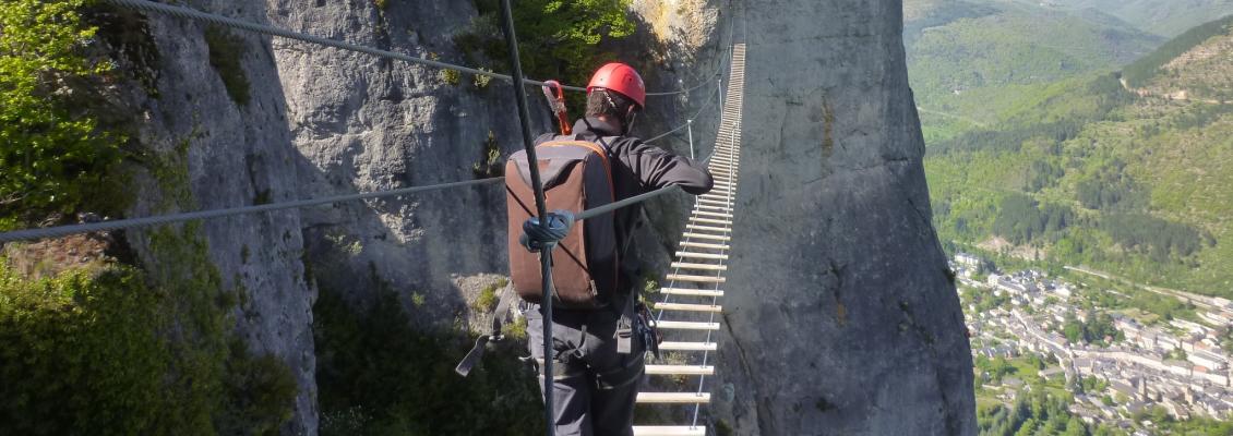
After you have been equipped with your personal equipment consisting of a harness, lanyards specific to the via ferrata, a pulley, and a mountain helmet, your monitor will give you the instructions necessary to the progression in safety.
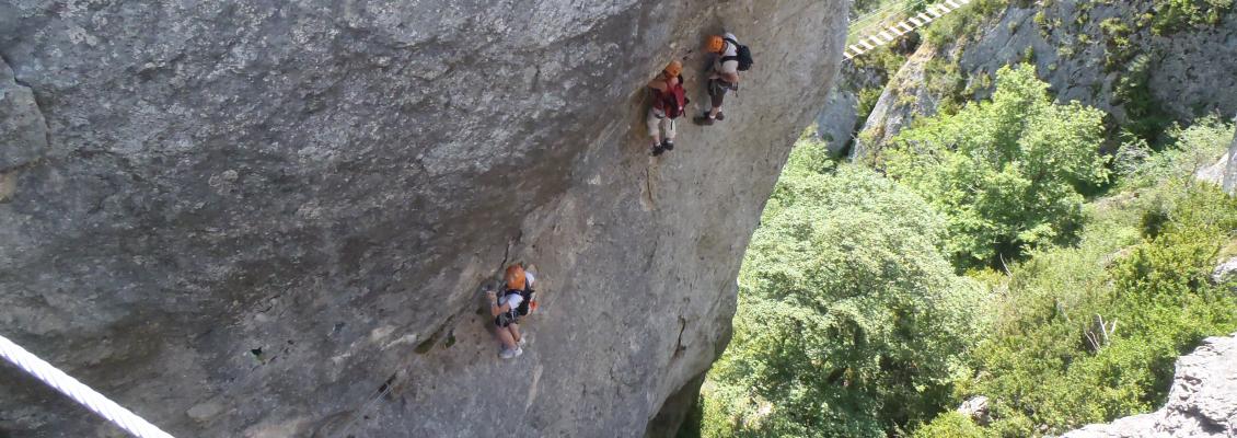
The route begins with a narrow passage called "the canyon" where the horizontal progression is already phisycal.
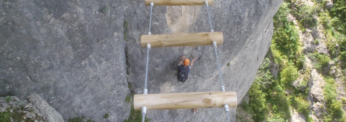
The route then takes a monkey bridge and then splits into two. The easy route then joins a large vertiginous footbridge while the difficult makes a hook in boulders.
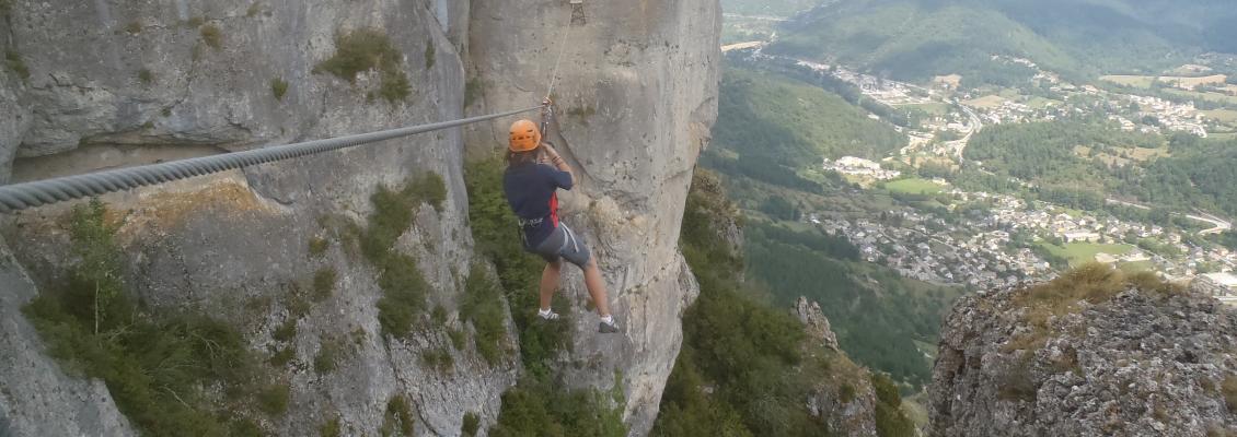
After this the route separates again. The easy one around a huge monolith to join the zip line while the difficult climbs right into this block called "Ron de Picar" to reach a roof that we will follow until the beginning of the zip line.
We arrive then at the big pillar of Rochefort where a passage takes us to the different exits. An AD exit consists of a succession of bridges in a small canyon. Two other TD classified exits go up to the plateau. The last option lies in an ABO-rated rooftop exit where progress is extremely athletic and commitment is certain. Not for everybody !
From there, a path back up until you quickly reach the plateau of Causse Mejean where a path will take you to the point of departure in thirty minutes.
Roadmap : Florac Via ferrata
How to get here:
- From Florac - 15 mins drive: Take the road D16 until the pass of Pierre Plate. The carpark of the via ferrata is situated 150 m after the pass on your right.
- From Sainte-énimie - 45 mins drive: Take the road to Florac then follow the indications from Florac.
- From Meyrueis - 45 mins drive: Take the road to Florac then follow the indications indications from Florac.
Necessary equipment : Pair of shoe type trainers, picnic, bottle of water.
GPS coordinates: 44.327812, 3.566432
Payment: French cheque or cash, there is no cash dispenser at the venue.
Warning: Please arrive on time, the guide is unable to delay departure for participants who are late.
Localization Via Ferrata : Florac Via ferrata
You can use the map below to calculate your route to your place of your activity. Remember to increase the estimated time by Google about 20%, corresponding to the time lost on our small roads.
Veuillez patienter pendant le chargement de la carte...